


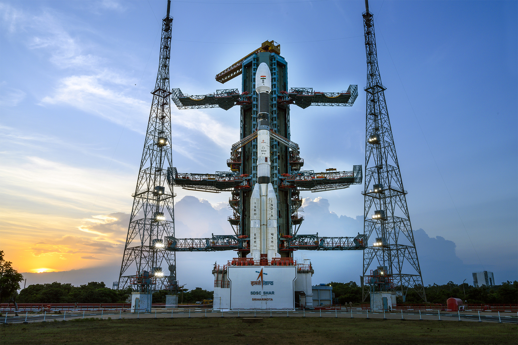
New Delhi: Union Minister of State (Independent Charge) Science & Technology; Minister of State (Independent Charge) Earth Sciences; MoS PMO, Personnel, Public Grievances, Pensions, Atomic Energy and Space, Dr. Jitendra Singh on Thursday (February 10) said, ISRO has launched a total of 129 satellites of Indian Origin and 342 foreign satellites belonging to 36 countries of which nearly 39 satellites are commercial satellites and rest are nano-satellites since 1975.
In a written reply to a question in the Rajya Sabha, Dr Jitendra said, today India has a total of 53 operational satellites in space providing various identified services to the nation. 21 of these are communication satellites, 8 are Navigation satellites, 21 are Earth Observation Satellites and 3 are Science Satellites.
Also read: ISRO Chairman Somanath Meets Union Minister Jitendra, Discusses Status of Gaganyaan
The satellite-enabled data and services are being used for the benefit of various sectors of the country. These include Television broadcasting, Direct-to-Home, ATM, Mobile communication, tele-education, tele-medicine and advisories on weather, pest infestation, agro-meteorology and potential fishing zones.
Satellite data is also used for crop production estimation, crop intensification, and agricultural drought assessment, wasteland inventory, identifying groundwater prospect zones, inland aquaculture suitability and disaster risk reduction. ISRO has plans to launch more number of satellites to further enhance operational applications and cater for the needs of emerging applications and user ministerial requirements in the country.
Many of the applications have been effectively adopted by stakeholder departments for operational use.
A few of such applications include Potential Fishing Zone Forecast & Ocean State Forecast by Indian National Centre for Ocean Information Services, (MoES), Crop Acreage and Production Forecasting & National Agricultural Drought Assessment and Monitoring System by Mahalanobis National Crop Forecast Centre, (MoA&FW), Biennial Forest Cover Assessment by Forest Survey of India (MoEF&CC), Irrigation Infrastructure Assessment by Central Water Commission (Ministry of Jal Shakti), Weather forecasting by India Meteorological Department (MoES), Ground Water Prospect and Suitable Recharge Locations’ mapping (Ministry of Jal Shakti), Integrated Watershed Management Programme & MGNREGA by MoRD.